


Chapter 17.08
ZONING PLAN AND ADOPTION OF DISTRICTS
Sections:
17.08.010 Zoning plan—Adopted.
17.08.020 Zoning plan—Purpose.
17.08.030 Zoning plan—Content.
17.08.040 Zoning plan—Application.
17.08.050 Districts—Application.
17.08.070 Zoning map—Boundaries.
17.08.010 Zoning plan—Adopted.
There is adopted a zoning enabling plan for the city, which constitutes a precise plan based upon the adopted master plan of the city. (Prior code § 3101.01)
17.08.020 Zoning plan—Purpose.
The plan is adopted to provide reasonable protective regulations designed to promote and protect the health, safety, peace, morals, comfort, convenience and general welfare, and:
1. To protect the established character and the social and economic stability of agricultural, residential, commercial, industrial and other types of improved areas; and
2. To assist in providing a definite comprehensive plan for sound and orderly development, and to guide and regulate such development in accordance with the master plan and the objectives and standards set forth therein. (Prior code § 3101.02)
17.08.030 Zoning plan—Content.
The zoning plan consists of the establishment of various districts, primary areas, and subareas within some, all, or none of which shall it be lawful, and within some, all or none of which it shall be unlawful, to erect, construct, alter, move, locate or maintain certain buildings or to carry on certain trades or occupations or conduct certain uses of land or of buildings; within which the height and bulk of future buildings shall be limited; within which certain open spaces shall be required about future buildings and consisting further of appropriate additional regulations to be enforced in such districts, primary areas, and subareas, all as set forth in this title. (Ord. 1286 § 6, 2018: prior code § 3101.03)
17.08.040 Zoning plan—Application.
The zoning plan is intended to apply to all private, public, quasipublic, institutional, and public utility properties and all other lands, buildings and structures within the incorporated area of the city. (Prior code § 3101.04)
17.08.050 Districts—Application.
The classes of districts, primary areas and subareas and certain combinations thereof as designated in Chapters 17.10 and 17.52 and the regulations pertaining thereto are applied to the land areas, and the land areas designated therein shall be subject to the provisions and regulations of this title. (Ord. 1286 § 7, 2018: prior code § 3103.01)
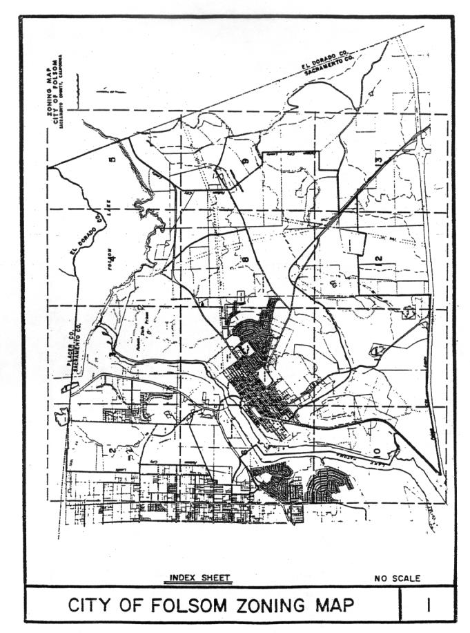
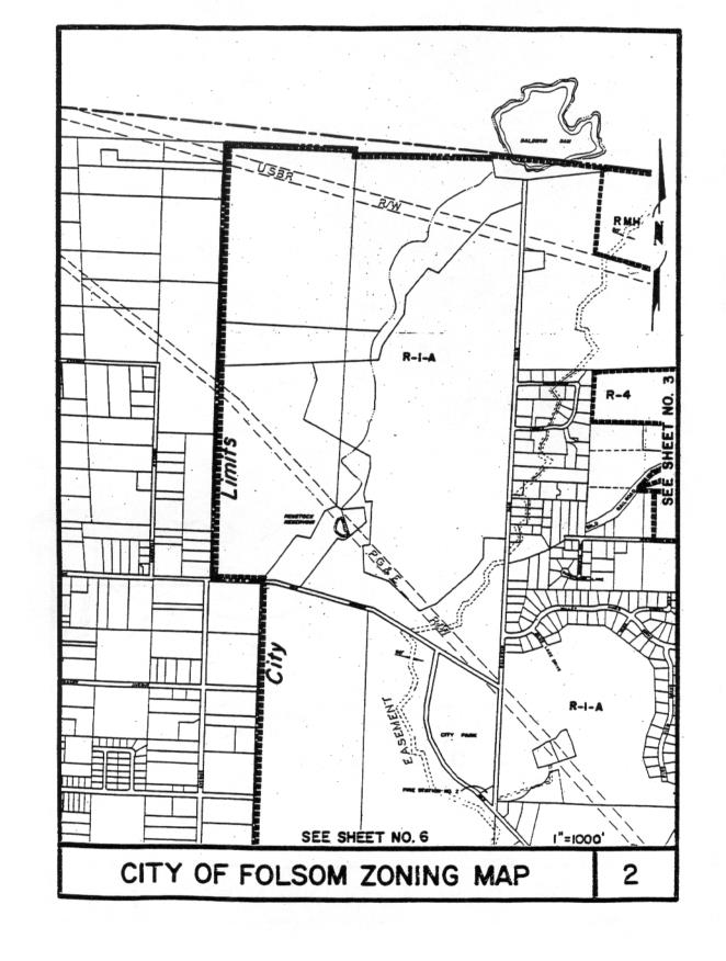
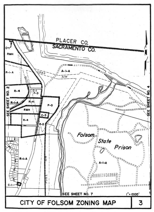
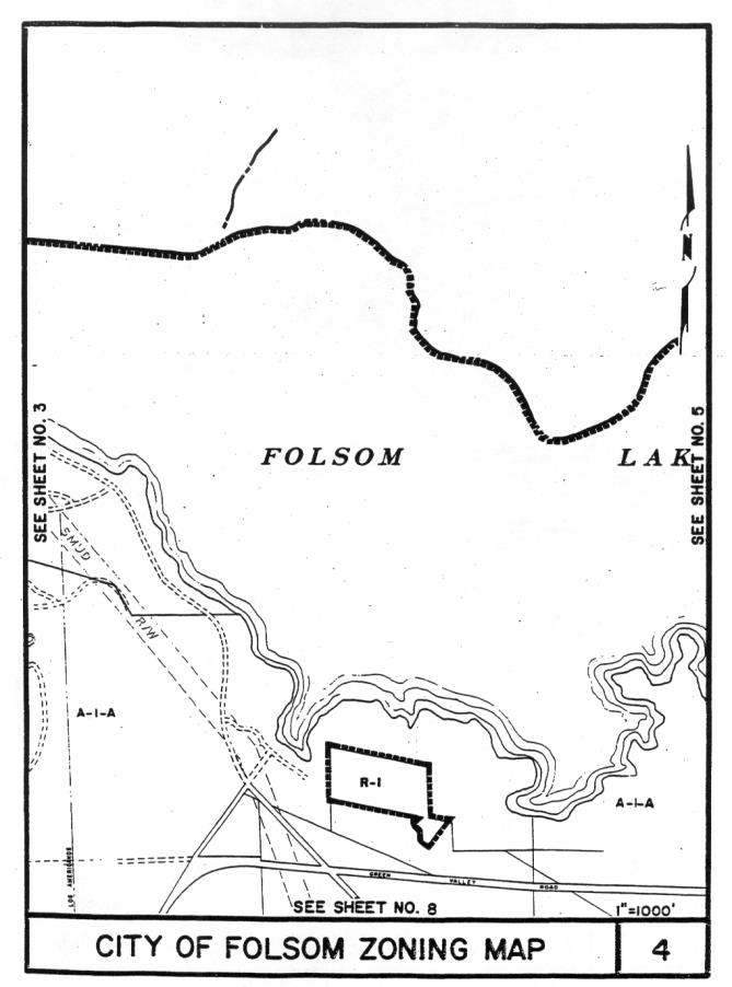
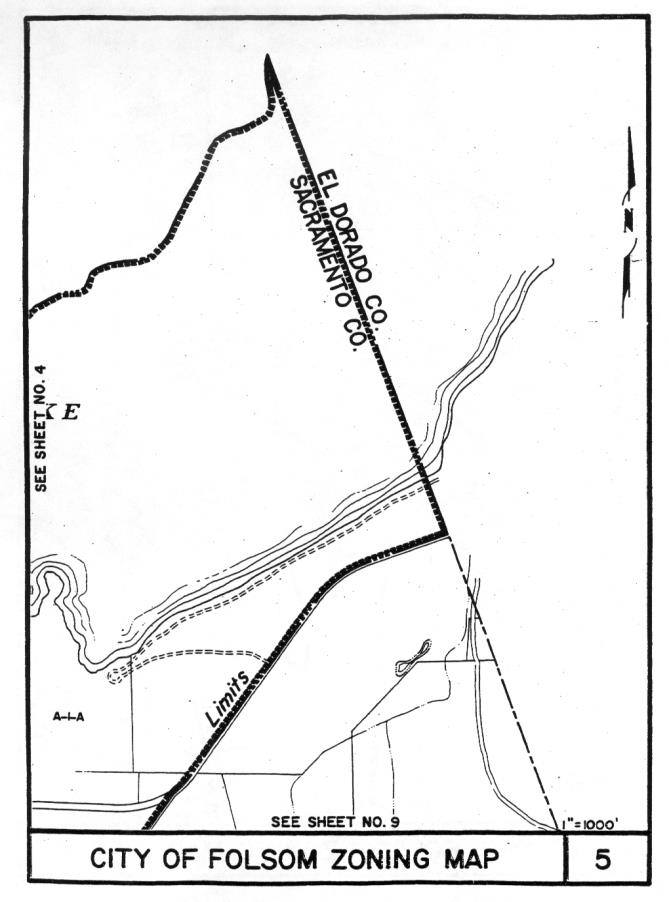
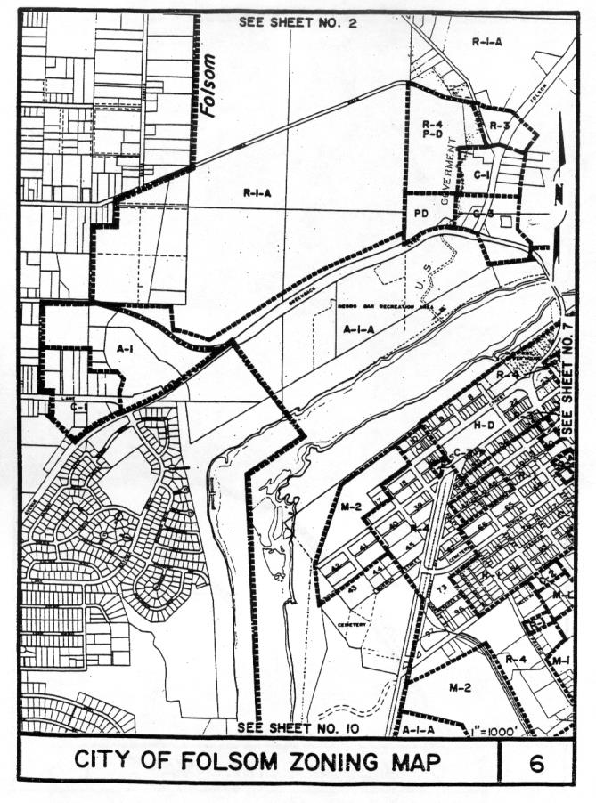
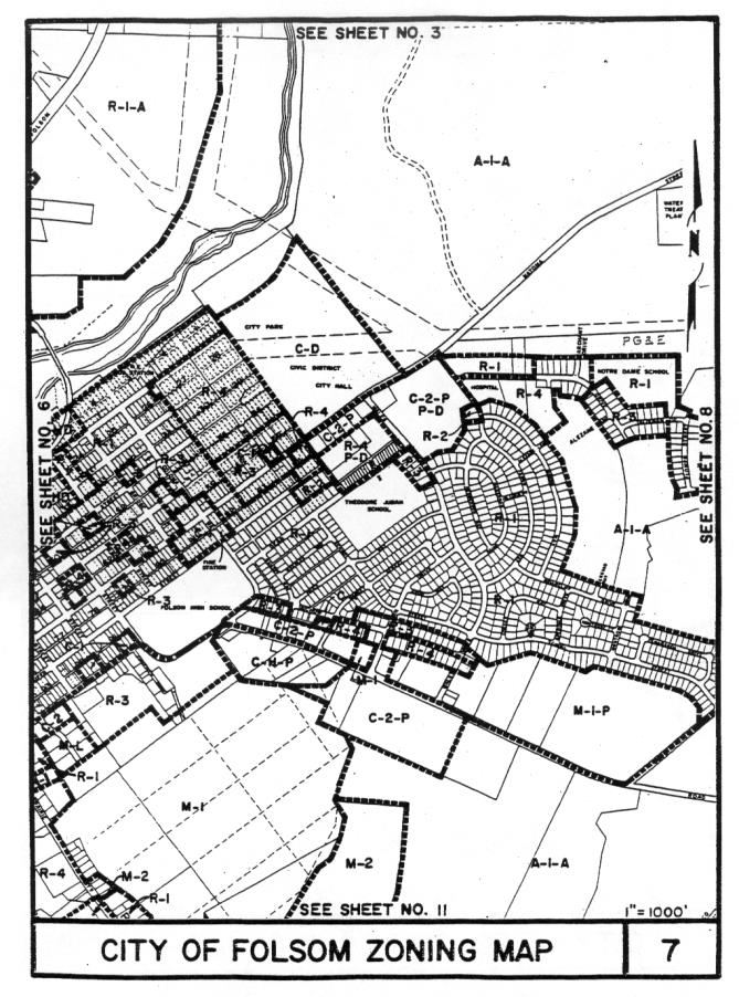
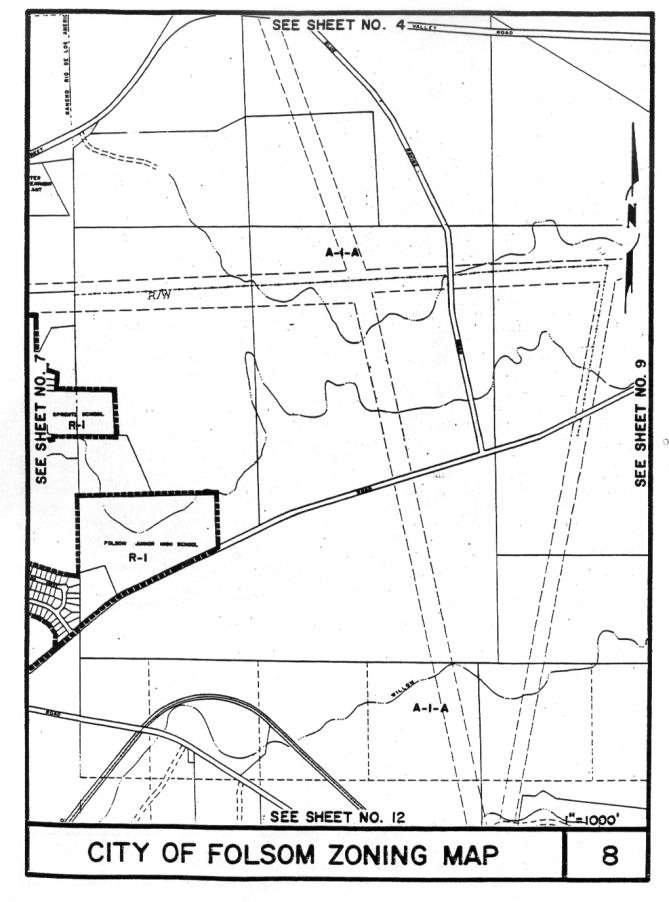
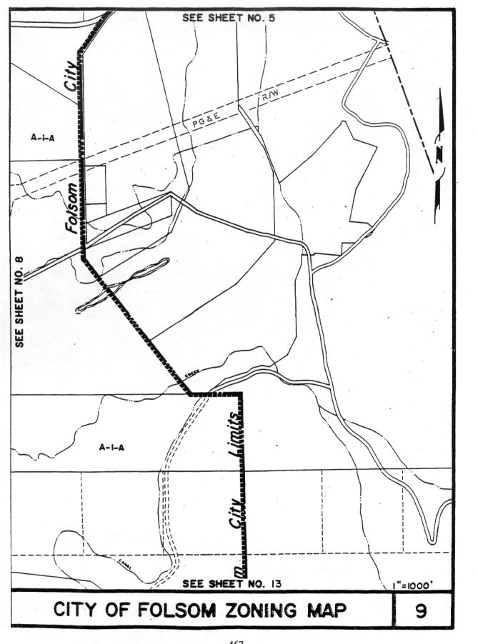
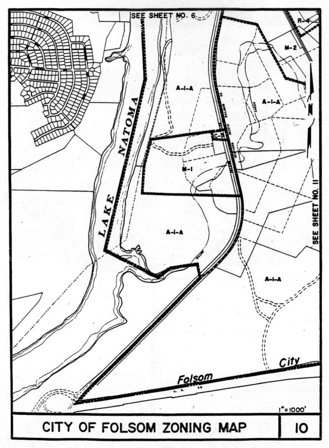
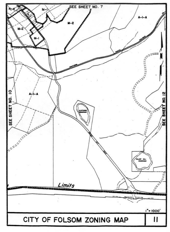
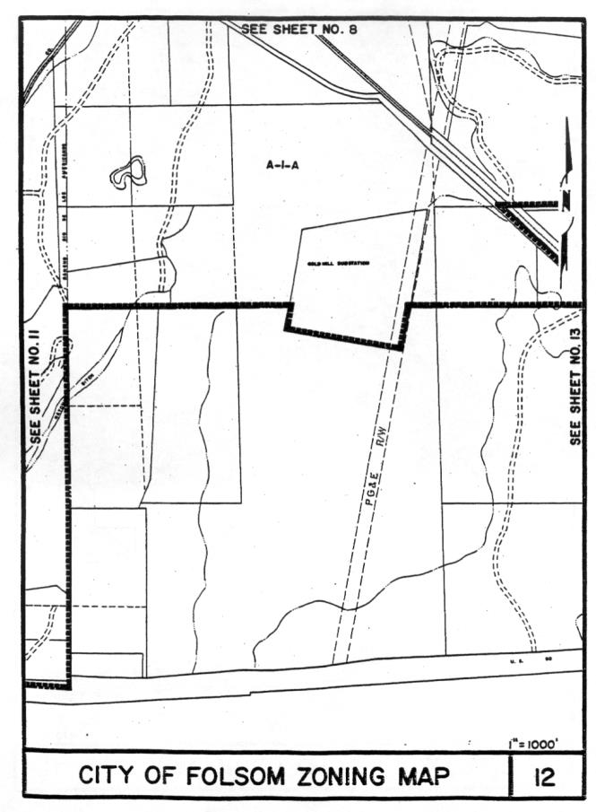
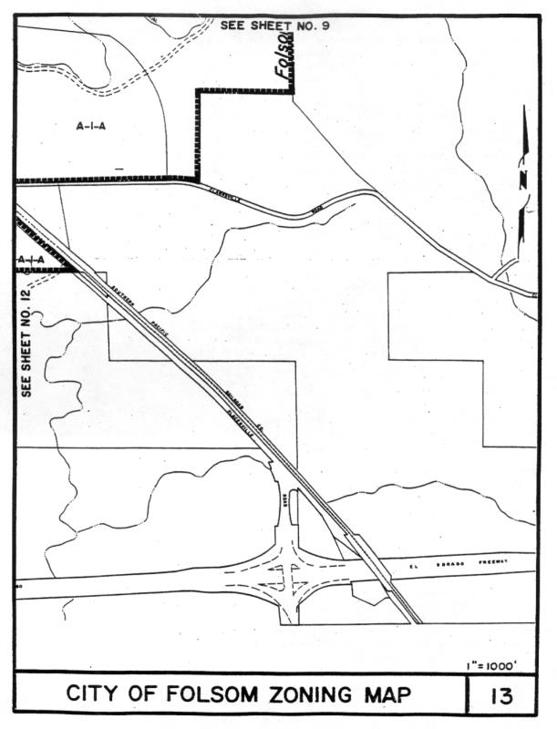
17.08.070 Zoning map—Boundaries.
Where uncertainty exists as to the boundaries of any of the aforesaid districts as described as aforesaid or as shown on the sectional district maps, the following rules shall apply:
1. Where such boundaries are indicated as approximately following street and alley lines, such street and alley lines shall be construed to be such boundaries;
2. Where such boundaries are indicated as approximately following lot lines, such lot lines shall be construed to be such boundaries;
3. In unsubdivided property and where a district boundary divides a lot the location of a district boundary may be adjusted within a single lot by application of the variance procedure of this title;
4. In case further uncertainty exists, the planning commission, upon written application or upon its own motion, shall determine the location of such boundaries. (Prior code § 3103.02)