


1. OVERVIEW
The Norkirk Neighborhood is located between the Cross Kirkland Corridor on the east, Market Street on the west, the Moss Bay Neighborhood, including downtown, on the south, and the crest of the Juanita Slope at approximately 20th Avenue, on the north (see Figure N-3).
While the pattern of land use and street grid in the neighborhood are well established, in recent years the neighborhood has seen an increase in demolition of older homes to make way for more infill development and modern style homes. The neighborhood is predominately residential in character and contains some of Kirkland’s oldest homes. The neighborhood is also home to many civic and public uses including City Hall, the City Maintenance Center, the Kirkland Middle School, and the Peter Kirk Elementary School. The core of the neighborhood consists of lower-intensity residential development, while higher-intensity residential uses are concentrated on the south end, transitioning to the commercial uses of the Central Business District. Commercial and multifamily residential development adjoins Market Street on Norkirk’s western boundary. Light industrial uses are in the southeastern portion of the neighborhood.
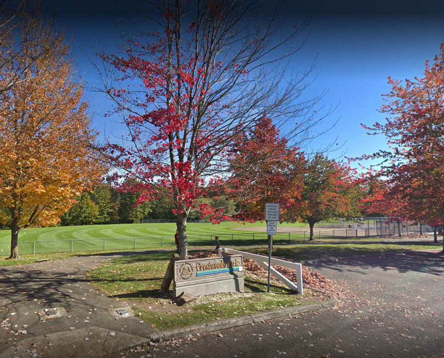
Crestwoods Park in the Fall