|
|
|
|
PARKS, ARTS, RECREATION, CULTURE, AND CONSERVATION
Future Vision for Redmond: Parks, Arts, Recreation, Culture, and Conservation
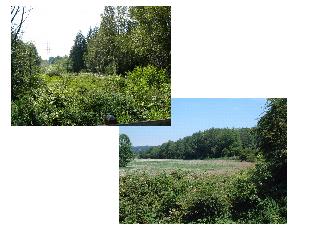
Redmond in 2030 has maintained a very green character. The City is framed within a beautiful natural setting, with open spaces and an abundance of trees continuing to define Redmond’s physical appearance. A system of interconnected open spaces provides habitat for a variety of wildlife.
Lake Sammamish and the Sammamish River, noted for their water quality, are used for boating, swimming, and other types of recreation. Public access to shorelines has been enhanced while protecting the natural environment. The open space and agricultural character of the north Sammamish Valley has been maintained and is highly valued by the community.
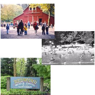
Neighborhood and community parks contribute to a high quality of life in Redmond by providing a full array of opportunities ranging from active recreation, such as sports and games, to more restful and reflective activities, such as walking and viewing wildlife. Residents enjoy larger natural areas, such as the Watershed Preserve and Farrel-McWhirter Park, as well as smaller open spaces and gathering places located throughout the City close to residences and work places. Indoor and outdoor recreational facilities and programs meet the needs of residents of all ages.
Known as the Bicycle Capital of the Northwest, Redmond has developed an excellent system of bike paths and trails that are used for recreation, commuting and riding to schools, parks and other destinations.
Organization of This Element
Introduction
A. Parks, Arts, Recreation, Culture, and Conservation System Policies
General Guidelines
Projected Needs
Land Acquisition and Facilities Planning
B. Recreation, Arts, and Cultural Program Policies
C. Special Features Policies
D. Trails Policies
Trail Network Plan
Trailheads
Equestrian Trails
E. Parks, Trails and Facilities Maintenance Policies
F. Conservation of Public Land and Natural Areas Policies
G. Open Space Policies
Introduction
One of Redmond’s most attractive features is the large number of high-quality recreational opportunities in the area. The City of Redmond, in cooperation with other public and private agencies, has endeavored to provide and will strive to continue the exemplary parks, recreational and cultural facilities, and open space areas for those who live or work in Redmond.
The City of Redmond’s setting in a large valley surrounded by a series of hills enables the parks, recreation, open space, and arts system to take advantage of this abundant natural beauty. Lake Sammamish, the Sammamish River, and Bear Creek, along with the forested hillside areas and valley floor, are many of the special features that identify the Redmond area and are elements of the system which many people can enjoy.
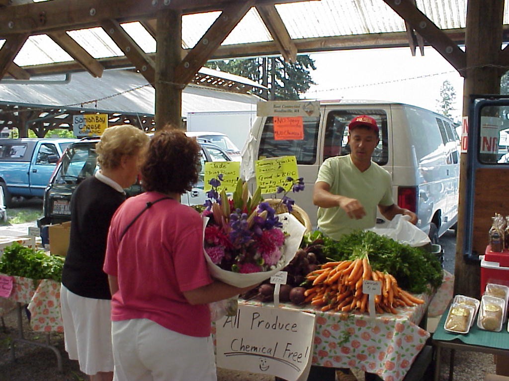
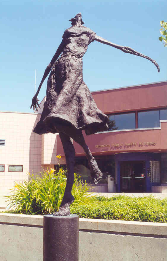
Arts in the Parks event
Redmond’s park, recreation, arts, and open space system, guided by the policies in the Parks, Arts, Recreation, Culture, and Conservation Element, has the following basic functions:
◊ To serve existing and future demand for a variety of park types and a multitude of recreation activities;
◊ To provide recreational programs for the entire community, including all ages, physical capabilities, and cultural backgrounds;
◊ To provide for the cultural needs of the community, by providing facilities used for performing arts and arts exhibits, arts education and programming, and other facilities, such as informal gathering places;
◊ To provide for the conservation of important environmental resources which might otherwise be lost to development, such as shorelines and wetlands; and
◊ To preserve areas which are unsuitable for development due to flooding, erosion or other hazards, such as floodplains, or steep slopes.
The Parks, Arts, Recreation, Culture, and Conservation Element helps achieve Redmond’s vision for the future by helping to maintain the community’s high quality of life, and meeting the City’s recreational, social, and cultural needs for a diverse population with changing interests and needs.
This element is coordinated with the Parks, Arts, Recreation, Culture, and Conservation Plan (PARCC Plan); it is the planning document for the specific programming and implementation strategies that are identified in the PARCC Plan. Therefore, the policies within the Parks, Arts, Recreation, Culture, and Conservation Element provide the policy direction for implementation as described in the PARCC Plan. The PARCC Plan is hereby incorporated by reference into this document. The PARCC Plan is updated every five years to comply with requirements for federal funding from the State of Washington Recreation and Conservation Office (RCO).
A. Parks, Arts, Recreation, Culture, and Conservation System Policies
General Guidelines
An integrated system of parks, trails, open space, and cultural facilities will be provided and managed primarily within the City of Redmond with some sites expanding slightly beyond the City limits. Redmond’s parks, recreation, and open space system provides for land and facilities to meet the demand for a variety of park types and recreation activities. It also must provide for the conservation of important environmental resources and limit the development of areas that have severe or very severe natural constraints. Most importantly, it will provide for people living or working in the City, now and in the future, who are diverse in age, interests, cultural identity, and physical ability.
PR-1
Provide a parks, recreation, arts, trails, and open space system to serve existing development and planned growth.
PR-2
Maintain planning guidelines which address diverse recreational needs, accessibility, cultural and arts program requirements, service radius, and requirements for open space acreage.
PR-3
Maintain a plan that implements the policies in this element, is flexible and can respond to changes in user population or recreational preference, and is consistent with Redmond’s Comprehensive Plan, including neighborhood goals and policies.
Redmond has worked with other jurisdictions in the area to develop its parks and recreation facility guidelines and level-of-service standards. The existing and projected demand for parks and recreation facilities is based on established levels of service, park department statistics and guidelines, and recommended standards.
As required by the Countywide Planning Policies for King County, Redmond will continue to work with other local governments in the county to prepare coordinated level-of-service standards for parks and open space. A level-of-service standard is an established minimum level of park land, open space, or recreational facilities that must be provided for each unit of demand, typically expressed in acres of park land per population, or in the case of trails, miles per population. Level-of-service standards are used to determine the amount of funds that a particular level of development must provide to compensate for the increased demand for parks, open space, and recreational programs that the development will generate.
The Redmond City Council has adopted the following level-of-service standards*:
Neighborhood Parks
1.00 acre per 1,000 people (neighborhood population)
Community Parks
3.00 acres per 1,000 people (Citywide population)
Resource Parks
2.50 acres per 1,000 people (Citywide population)
Trails
0.35 miles per 1,000 people (neighborhood population)**
Recreation
7.6 hours of programmed recreation per person annually
*The population is 100 percent of the residential population and 25 percent of the employment population to account for the high demand on the parks system from people who work in Redmond, but don’t live in Redmond.
**The trail level-of-service standard will increase to 0.45 miles per 1,000 neighborhood population in 2017.
The PARCC Plan defines the above categories of parks as follows:
Neighborhood Parks (NP) provide space for active and/or passive recreation. These parks are accessible to nearby residents and business people primarily by walking and bicycling. Neighborhood parks are the smallest parks and vary in size from pocket parks to 20 acres, and typically have fewer activities or amenities than community parks. The unique character of each site will help determine appropriate amenities, which may include: children’s playgrounds, small-scale active recreation amenities, open fields, open space, trails, environmental preservation areas, picnic areas, urban plazas, passive areas for reflection and gathering, and occasionally restrooms or other small structures.
Community Parks (CP) provide diverse active recreation opportunities with some passive recreation uses. Community parks generally range in size from 20 acres to 40 acres and have a more regional draw than neighborhood parks. Community parks typically include a variety of active amenities that use more than half of the park for uses, such as sport fields, courts and facilities, playgrounds, picnic facilities, beach facilities, equestrian facilities, educational facilities, and community gardens. The remainder of the park may also contain natural habitat and trails. Support facilities typically include parking, restrooms and lighting.
Resource Parks (RP) include natural areas under City control that will not be developed for active recreation use. Development is typically limited to trails and interpretive and educational opportunities. Resource parks include unique natural sites that likely include wildlife habitat and/or environmentally critical areas that the City intends to preserve and sometimes enhance.
Redmond Watershed Preserve
Private Parks (PP) are created by a developer while building a development of homes. These parks are usually in the form of a small neighborhood park or resource park. Typically the parks are developed to comply with zoning regulations to provide usable open space and as an amenity to the development. In most cases, this land is controlled by the homeowners’ association and is private property. These parks are recognized in this plan and counted toward parks level of service (LOS), because they serve a portion of the population or protect sensitive habitat, just as a public park does.
Trails consist of in-park amenities (e.g., the equestrian trail at Farrel McWhirter Park) and the City’s Trail Network. Various elements of the Trail Network hierarchy are defined as: regional, connector, local trails, and blue trails as defined further below:
Regional trails pass through the City, connecting to other jurisdictions and other trails and trail systems. Regional trails, such as the Sammamish River Trail, are designed to standards for Shared Use Paths as specified in the City of Redmond’s Bicycle Facilities Design Manual Guidelines (2009, or latest version). In general, regional trails are physically separated from roads by distance or barriers. At-grade crossings of roadways are minimized to avoid conflicts. These trails should be 12 feet wide under most conditions, with a minimum two-foot-wide graded shoulder. Where desirable, paths should have an adjacent four-foot-wide unpaved area to accommodate pedestrians. Regional trails are paved; however, interim uses sometimes require the use of soft-surface materials, such as crushed rock or wood chips.
Connector trails are the key linkages between regional trails and other facilities. These trails can be paved or soft-surface trails, and are typically narrower than regional trails, due to more limited use and constraints. Connector trails should meet the City’s sidewalk standards and be a minimum width of six feet to 10 feet wide. Soft-surface materials may be used for interim use.
Local trails are typically soft-surface trails that range from two feet to six feet wide. Narrower widths may be allowed for single-track trails. The trails may be used as neighborhood linking trails, park trails, and hiking, off-road bicycling, and equestrian trails. Local trails are sometimes constructed with the native soil on site. Vegetation will be cleared, and the trail will be graded slightly to reduce off-camber trail conditions, which is an angled slope that can cause difficulty for riders. Some local trails may require reinforcement with gravel, pavers, or bridges in wet or eroding areas.
Blue trails are water trails along navigable waters within the City, such as the Sammamish River and Lake Sammamish. The primary design criteria for blue trails include providing frequent access points to the water where nonmotorized personal watercraft can be safely and easily transported from parking areas and providing adequate signage and route-finding materials.
Projected Needs
Based upon the level-of-service standards described above, the future needs of park land (year 2030) in the various park categories are as follows:
Park Category
Year
Existing (Acres)
Standard (Acres)
Need (Acres)
Neighborhood
2010
111
126
15
Neighborhood
2016
111
127
16
Neighborhood
2020
127
131
5
Neighborhood
2030
131
139
7
Community
2010
350
219
-131
Community
2016
350
276
-74
Community
2020
363
314
-50
Community
2030
372
351
-21
Resource
2010
1,075
185
-890
Resource
2016
1,075
230
-845
Resource
2020
1,075
261
-814
Resource
2030
1,075
292
-783
Source: PARCC Plan, 2010
Land Acquisition and Facilities Planning
PR-3.1
Develop a more walkable and geographically equitable system of parks and trails by calculating neighborhood park and trail level-of-service policies based on neighborhood populations.
PR-3.2
Provide credit to the park level of service for public places used as parks, such as school properties and non-Redmond parks within the City and within walking distance of the City.
PR-4
Distribute parks and recreation and cultural facilities throughout Redmond and within Potential Annexation Areas in a manner which, as much as possible, provides an equitable distribution of parks, and improves walkability. Acquire land and develop parks in areas which are:
♦ Experiencing rapid growth;
♦ Targeted for significant growth, such as the Downtown and Overlake Urban Centers; or
♦ Identified as having a deficiency in recreational and cultural services.
PR-4.1
Develop a park and trail, recreation, and arts finance strategy that meets the needs of the community and preserves the level of services of these facilities and programs.
PR-5
Encourage the acquisition of greenbelts and park land to maintain open space, protect environmental resources, provide circulation linkages and wildlife corridors, and ensure adequate separation and buffers between various land uses.
PR-6
Reduce the impacts of development and ensure open space is retained by encouraging private developments to provide land for parks, trails, walkways, and open space.
PR-7
Actively pursue private dedication of land through a variety of methods to facilitate public access to parks and provide a continuous system of parks, trails, and open space.
PR-8
Actively pursue the private dedication of arts media for viewing and enjoyment in public areas.
PR-9
Coordinate park planning and land acquisition with other City plans for streets, utilities, and buildings, thereby maximizing the benefits available from public lands for parks, arts and cultural programs, and recreational activities.
PR-10
Encourage parks, beautification areas, art, and gathering places throughout the City by coordinating planning efforts with other City departments and private businesses early in the development review process.
PR-11
Continue to promote a street tree program throughout the City.
PR-12
Encourage the development of smaller, local parks in locations throughout the City when feasible. Support efforts for private developments to provide shared open space and the development of “pocket” or “mini” parks when feasible.
PR-13
Seek funding opportunities from a variety of sources (federal, state, and private) for the acquisition and development of parks, trails, open space, and the arts.
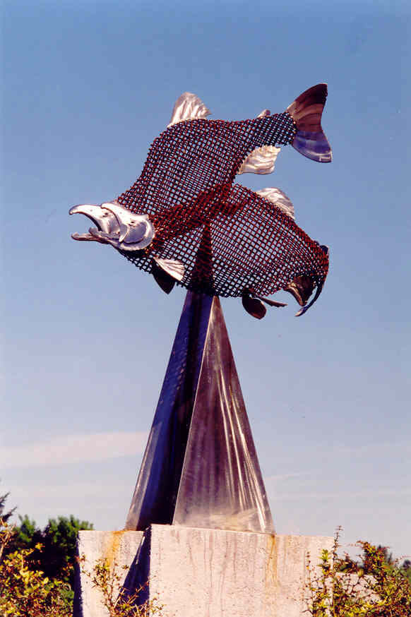
“The Last Test” art on Sammamish River Trail
PR-14
Continue to develop the Parks Improvement Plan for a parks and recreation system that serves existing development and planned growth, is financially feasible, and can be funded at a level which allows for a reasonable implementation schedule.
PR-15
Utilize quasi-public land, where possible, and dual-use facilities, such as Puget Sound Energy corridors, utility easements, or rights-of-way.
PR-16
Coordinate the development and use of parks and recreation with King County, neighboring jurisdictions, local school districts, and user groups to avoid duplication of facilities and services.
PR-17
Work with other governmental agencies and private organizations to provide a complete Parks, Recreation, Trails, and Open Space System for the City and greater Redmond area.
B. Recreation, Arts and Cultural Program Policies
These policies describe how the City of Redmond will provide for the recreation and cultural needs of the community. These services are provided for the people of Redmond to enjoy all of the elements that make up the parks, recreation, arts, and open space system.
PR-18
Provide a balanced system of recreation, arts, and leisure programs that are comprehensive, enriching, and affordable for all citizens.
PR-19
Create a balanced system of recreation opportunities for all ages by providing:
♦ A community center or centers for indoor and outdoor recreation programs, including provisions for the following programs: youth or teen center, meeting rooms, social services, facilities to serve special populations, recreation classes, athletics and gymnasiums.
♦ Athletic facilities for competitive, organized sports (e.g., practice and tournament regulation softball and practice and regulation baseball fields, soccer fields, and tennis courts). When impacts on adjacent properties can be minimized, fields and courts should be lighted to provide for extended hours of use.
♦ Facilities for competitive or noncompetitive, nonorganized, active recreations (e.g., rollerblading, skateboarding, bicycling). Consideration should be made to provide safe, legal facilities for recreation enjoyed by youths and teens (and where such needs have been demonstrated).
♦ Facilities to support the cultural arts (e.g., program rooms, performing arts theater, and outdoor concert space). Additionally, designated facilities to encourage freedom of artistic expression should be City sponsored (e.g., graffiti art wall).
♦ Facilities and land for contemplative and sensory recreation (e.g., picnicking, benches for sitting, views for enjoying).
♦ A linkage system (e.g., bicycle lanes and multiuse trails which connect the park system, schools, and other important public facilities in the City).
♦ Outdoor plazas and squares within the Downtown Neighborhood for community and civic events, public gatherings, programmed activities and entertainment. (SMP)
PR-20
Provide a community center or centers for indoor and outdoor recreation including provisions for programs or facilities, such as but not limited to: meeting rooms, social services, facilities to serve special populations, recreation classes, aquatics, athletics, and gymnasiums.
Redmond Senior Center
PR-21
Provide athletic facilities for organized sports that meet the current demands and needs of the community derived from the level of service analysis. Design new and renovated sport facilities utilizing appropriate technologies to gain cost efficiencies, accommodate diverse uses, and increase capacity through extended and expanded play.
PR-22
Provide facilities for nonorganized, active recreation, such as but not limited to: rollerblading, skateboarding, and bicycling. Continue to develop safe facilities for recreation enjoyed by youths and teens where such needs have been demonstrated.
The Edge Skate Park
PR-23
Cultivate community and provide uses for all ages by considering the incorporation of interactive recreational, sensory, and contemplative elements, such as water features, public gardens, pea patches, and picnic areas into City parks.
PR-24
Encourage the development of special purpose recreation facilities, such as ice arenas, swimming pools, and golf courses.
PR-25
Promote the development of facilities to support the cultural arts, such as program rooms for arts activities and education, display areas, a performing arts center, and outdoor concert space.
PR-26
Encourage the development of outdoor plazas and squares within parks and private developments in the Downtown and in other City neighborhoods in order to have places for community and civic events as well as informal gatherings.
Redmond Town Center plaza
PR-27
Ensure adequate provision for allowing the location of private or nonprofit concessions within parks where such uses will not conflict with the enjoyment of the park or have adverse effects on neighboring property.
PR-28
Develop facilities and acquire land for environmental education, including a Citywide interpretative sign program for shorelines, streams, native growth areas, aquifers, and other important natural systems, by the appropriate agencies or City departments. (SMP)
PR-29
Actively promote the development of a linkage system that includes, for example, bicycle lanes, trails and pathways that connect the park system, schools, and other important public facilities in the City. Provide appropriate and well-designed signage to encourage wayfinding and connectivity.
PR-30
Continue to support policies and the methods for providing City residents priority of preference in registration for parks and recreation programs.
C. Special Features Policies
Natural features and shorelines, such as Lake Sammamish, the Sammamish River, major creeks, and the Redmond Watershed, are important aspects of Redmond’s character. The Sammamish River Trail provides for access along the river. Redmond currently has an active program to purchase land along Bear Creek and Evans Creek for a multi-use trail project and open space. Idylwood Beach Park is the City’s waterfront recreational access on the west side of Lake Sammamish and shoreline property on East Lake Sammamish has been purchased for a waterfront park. Farrel-McWhirter Park is one of the City’s largest parks and provides an important tie to Redmond’s history with areas for farm animals, special programs, and natural, open areas. Marymoor Park, which is owned by King County, is a significant recreational amenity situated between Lake Sammamish, the Sammamish River and the Downtown.
PR-31
Encourage the acquisition of property which will provide access to shorelines and local streams, with emphasis on areas where current and anticipated development patterns are unlikely to provide access, or where there are significant access needs. Promote the creation of open space corridors along these water resources to provide for passive recreation and wildlife habitat. (SMP)
PR-32
Continue to protect and enhance the habitat values and natural features of the Sammamish River through sensitive development of the trail right-of-way along the river between the Municipal Campus and Marymoor Park.
PR-33
Encourage King County to develop the trail on the west side of the Sammamish River.
PR-34
Design development along the Sammamish River to orient toward the river and reinforce its identification as a community gathering place and recreation area in a manner that is sensitive to and protects the natural environment.
PR-35
Upon acquisition of the Burlington Northern Santa Fe (BNSF) railroad right-of-way within the City, coordinate with King County, Sound Transit, and other partners on the planning and development of the corridor for a regional trail, opportunities for community gathering, art, culture, and historic interpretation, as well as for light rail transit, options for other transportation connections and utility placement.
PR-36
Continue conservation practices designed to preserve and enhance diverse habitats and sensitive ecosystems within the Watershed Preserve, while providing complementary, passive recreation opportunities, including trails for hiking, bicycling, horseback riding, and interpretive education.
PR-37
Continue to support and enhance the historic resource of Farrel-McWhirter Park in its provision of farm animal programs, special programs for children and families, trails, and open space.
PR-38
Support King County in the planning for and use of Marymoor Park such that the park activities are consistent with the City’s vision and character as described in Redmond’s Comprehensive Plan. Ensure that there is communication between King County, the City of Redmond, and the Friends of Marymoor regarding the current and future activities and uses in the park. Support the future annexation of Marymoor Park into the City of Redmond.
D. Trails Policies
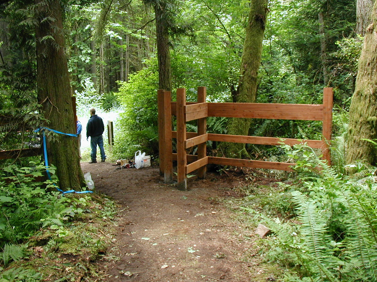
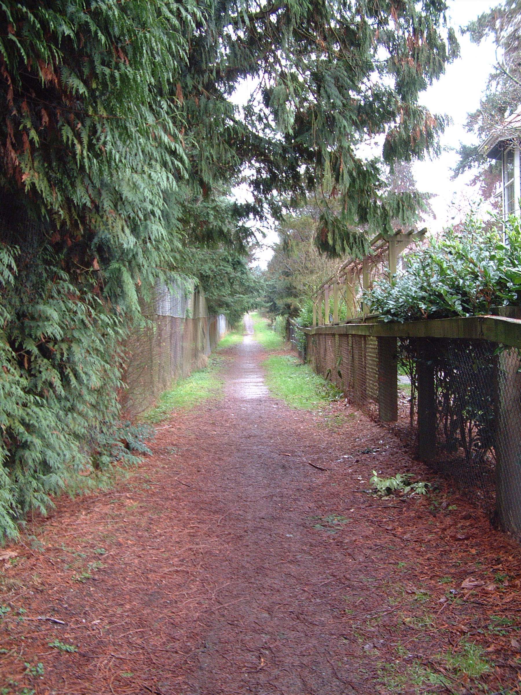
There are many existing trails throughout Redmond and the surrounding area which citizens enjoy for a variety of recreational as well as transportation purposes. The PARCC Plan shows the existing and proposed trails in the Redmond area. (Please refer to Proposed and Existing Trail Map in the PARCC Plan – Figure 8-5). Most are City-owned and maintained; however, the Sammamish River Trail is owned and maintained by King County and the SR 520 Bikeway is owned and maintained by the Washington State Department of Transportation. The Sammamish River is designated as a “blue trail” that is part of the regional Lakes to Locks water trail system for low-impact, nonmotorized watercraft. In addition, there are some trails through private developments which allow public access.
This Trail Network provides for a system of trails which link public lands with residential, employment, and shopping areas throughout the neighborhoods and community. In addition, Redmond’s Trail Network provides connections with the regional trail system, linking Redmond with surrounding communities and unincorporated King County. The Proposed and Existing Trail Network Map identifies a hierarchy of trails according to their construction and function.
The Trail Network complements the City’s Bicycle System Plan which utilizes, for the most part, street right-of-way and focuses primarily on bicycle lanes as a means of transportation. The Trail Network is a combination of paved and unpaved pathways and, wherever possible, the pathways are separated from streets. However, in some cases, where no other option exists, the route uses street right-of-way, often by widening the sidewalk area. Where this occurs, the Trail Network will follow the Bicycle System Plan very closely.
Trail Network Plan
PR-39
Develop an interconnected trail system throughout the greater Redmond area in cooperation with local, state, and federal agencies and private organizations. Identify and develop a hierarchy of trails, based upon trail construction and function. Serve a variety of activities and abilities for both recreation and transportation, including pedestrians, bicyclists, equestrians, and other users in appropriate locations.
PR-40
Promote the concept and use of the “Blue Trail,” which is the Sammamish River as a waterway trail. Continue to work with jurisdictions and others in the region which share the Sammamish River waterway to ensure the continuation of the Lakes to Locks Trail for nonmotorized watercraft with low impact on the natural environment.
Kayaking on Sammamish River
PR-41
Promote the linkage of communities, neighborhoods, parks, schools, public facilities, and other destinations with connections to trails developed by other agencies in the region.
PR-42
Coordinate planning of trails, bike lanes, and other nonmotorized modes of transportation among City departments and with surrounding jurisdictions to:
♦ Ensure safe and efficient use of all types of trails and other nonmotorized facilities;
♦ Encourage convenient travel between and within neighborhoods and local activity centers;
♦ Reduce car trips within the City; and
♦ Encourage convenient access and connectivity between trails, trailheads, and public transit.
PR-43
As a complement to the Citywide pedestrian pathway system, the City should develop a visual system for enhancing connections to the shoreline and identifying shoreline areas, considering such elements as street graphics, landscaping, street furniture or artwork. (SMP)
PR-44
Encourage the development of recreational pathways and trails which are not part of a street roadway. Pay particular attention to safety, especially where routes must use existing roadways. Design the pathway to minimize potential conflicts between motorists and trail users, especially equestrians.
PR-45
Develop trails that are interesting to the users and maximize the number and diversity of enjoyable viewing opportunities whenever possible.
PR-46
Consider soil conditions, steep slopes, surface drainage, and other physical limitations that could increase construction or maintenance costs when planning trails.
PR-47
Develop trails that create loops and interconnect to provide a variety of trail lengths and destinations. Review proposed trails to determine if they should be part of the City’s park and recreation program.
PR-48
Require during the review process for new development or redevelopment construction of multi-use pathways through proposed developments, where such improvements would provide needed linkages between trail routes and access to public destinations.
Trailheads
Trailheads are important elements of the trail system acting as staging areas and offering support facilities along the trail route. For the most part, existing parks can offer parking and other conveniences.
PR-49
Develop trailheads with the following characteristics:
♦ Provide centralized and, when possible, effective staging areas for trail access;
♦ Provide parking, orientation and information, and any necessary specialized unloading features, especially for equestrians and persons with disabilities; and
♦ Provide sufficient vehicular and equestrian parking, signage, and restroom facilities.
Equestrian Trails
Where possible, soft-surface trails have been developed that accommodate equestrian use. In some cases, these trails parallel a hard-surface, multi-use trail as along the Sammamish River Trail. In most instances, the soft-surface corridor also serves as a multi-use trail accommodating bicyclists and hikers as well as equestrians (e.g., Bridle Crest Trail and Puget Sound Energy Trail). Some trails, such as the Farrel-McWhirter Loop and Watershed Preserve Trillium, are designated equestrian/hiker only.
PR-50
Develop equestrian trails with the following characteristics whenever possible:
♦ Separate and provide buffer areas between equestrian trails and multi-use trails;
♦ Construct trails to be soft-surface, preferably fine crushed rock;
♦ Design road crossings to acceptable safety standards;
♦ Connect local trails with regional trails;
♦ Provide looped trail systems; and
♦ Construct trails to withstand all-weather use.
Bridle Crest Trail
E. Parks, Trails and Facilities Maintenance
Maintenance of the parks, trails, open space, and facilities is an important element of a successful parks program. The public investment in these facilities is considerable; therefore, ongoing, scheduled maintenance will ensure the safe use of parks and facilities for as long as possible. Further, the neat and well-maintained appearance of a park or park facility will encourage its continued use in a positive manner.
PR-51
Monitor existing parks, trails, and facilities to ensure that they meet acceptable standards for safety and performance.
PR-52
Design and renovate all parks and recreational facilities in a manner that will, where feasible, provide safe and accessible use by the physically impaired. (SMP)
PR-53
Provide funding to permit the orderly, ongoing repair and rehabilitation of existing parks, trails, and facilities.
PR-54
Reduce maintenance and operation costs by upgrading existing parks, trails, and facilities in a manner which will maximize efficient maintenance practices and conserve resources.
PR-55
Require the preservation and maintenance of private recreational facilities, such as pocket parks, tot lots, and informal trails, when these facilities have been required as a condition of development.
F. Conservation of Public Land and Natural Areas
These policies provide for the protection of public lands that are important natural areas. In addition, they provide for the acquisition of environmentally sensitive areas.
PR-56
Conserve existing public lands currently in a natural state through careful planning and cooperative agreements between appropriate government agencies and private entities.
PR-57
Designate appropriate uses within the capability of the parks, natural areas, and greenbelts (e.g., trails and outdoor education) as determined by site analysis.
PR-58
Use appropriate acquisition methods to protect natural areas that are sensitive to potential adverse impacts from urban development or that represent a significant natural and visual asset.
PR-59
Design and construct park facilities in a manner that is compatible with the neighborhood and is sensitive to the environment.
G. Open Space Policies
Open space provides valuable natural areas and corridors which enhance the sense of space for a community. They contrast with building footprints and roadways and add to the quality of the natural environment and community.
PR-60
Preserve open space areas throughout the community whenever feasible to:
♦ Retain an important component of Redmond’s character;
♦ Provide for linkages within and between neighborhoods;
♦ Protect valuable wildlife habitat and corridors; and
♦ Provide unique recreational opportunities.
PR-61
Coordinate with City departments and other agencies to develop and implement a long-term and comprehensive acquisition, dedication, and management program for open space.
Open space can be enjoyed for both passive and active recreation. The level of recreational use will vary with the ownership of the open space and the environmental sensitivity of the area. Publicly owned open space is available for public use unless the use would damage sensitive environmental resources. Privately owned open space, however, is not available for public use unless permitted by the owner. State law limits the liability of private land owners for public use of their property. This law is intended to encourage land owners to allow public use where appropriate. Where sensitive environmental resources are present, such as bird nesting sites, public access or recreational use may be limited even on public open space.
PR-62
Protect the natural resources of publicly owned open space and allow utilization of these areas at a level that will not compromise the environmental integrity of the area.
PR-63
Encourage property owners to grant permission for the public use of informal trails where such trails will provide connections between neighborhoods or other destinations and where natural resources will not be adversely affected.
Open Space Corridors
The Growth Management Act requires local governments to designate open space corridors. Open space corridors have multiple uses: they provide open space and clusters of trees, they can provide recreational opportunities, and they can help to tie together fish and wildlife habitats into a Countywide network.
Such a network will help to maintain species diversity by providing habitat for various species and by allowing species that no longer live in their former habitats to repopulate suitable areas. A unified open space corridor network also can increase the potential for interbreeding by allowing individuals of the same species to move from one area of a particular habitat type to another area of that habitat type. Open space corridors differ from the trails rights-of-way in that the open space corridors are managed for both habitat and recreation, whereas trail corridors emphasize recreation and nonmotorized transportation alternatives.
PR-64
Link areas of protected habitat, wetlands, rivers, lakes, gullies, native vegetation easements, preserved areas of trees, and native vegetation suitable for wildlife use through open space corridors and other suitable habitat areas.
PR-65
Ensure that recreational uses located in open space corridors are compatible with fish and wildlife resources.
Open space corridors will be managed through the use of Redmond’s critical areas regulations and potential City acquisitions. Since these areas are generally included within areas already protected by the critical areas regulations, a new critical areas category is not needed. In several cases, undeveloped ravines have been identified as open space corridors. Development will be directed away from these areas. The Natural Environment Element contains policies on managing critical areas and Fish and Wildlife Habitat Conservation Areas.
PR-66
Manage open space corridors through Redmond’s critical areas regulations. During development review, direct new development away from undeveloped ravines identified as open space corridors.
Redmond has several existing trail corridors that can provide habitat for wildlife and allow them to move from area to area. The habitat values of these areas should be improved where consistent with the primarily identified uses of recreation or nonmotorized transportation options.
PR-67
Encourage appropriate use of recreational corridors by wildlife by providing native vegetation and other habitat enhancements, when consistent with use of the corridor for recreation.
Ord. 2531(AM); Ord. 2486; Ord. 2230